A complete library for leaders making transformation real.
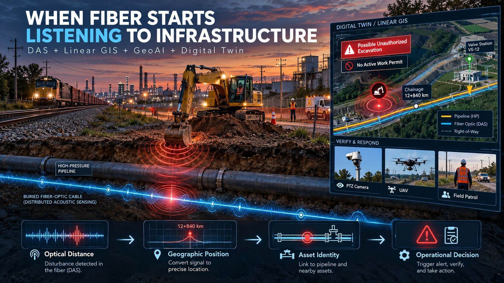
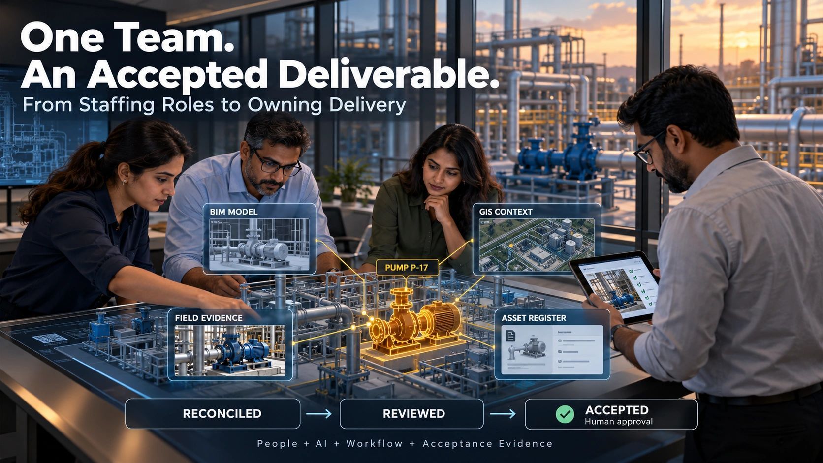
Browse practical perspectives on digital transformation, geospatial intelligence, IoT, AI, and the operating decisions that turn technology into measurable progress.
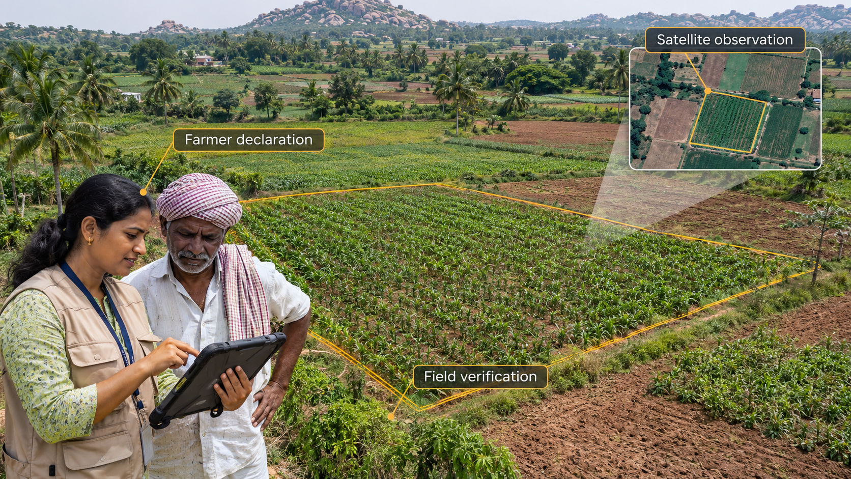
A digital crop survey should capture more than a model’s prediction. By linking farmer declarations, satellite observations, field verification and review decisions, a plot-level evidence record can make crop records more transparent, correctable and reliable.
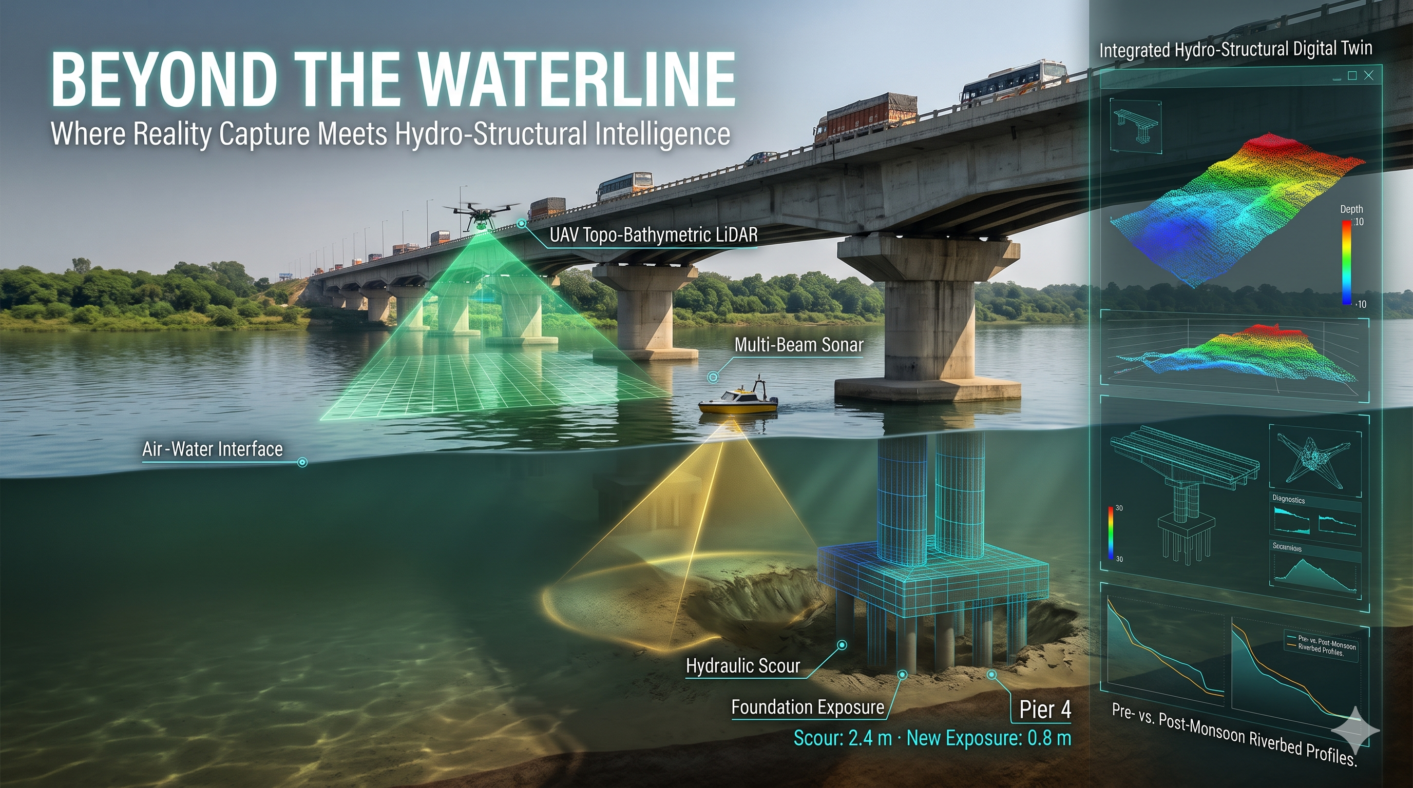
Hydro-Structural Digital Twins combine UAV Topo-Bathymetric LiDAR, USV Multi-Beam Sonar and structural BIM to reveal hidden foundation risks, detect riverbed scour and connect above-water and underwater inspections, enabling evidence-driven infrastructure monitoring, maintenance and engineering decisions.
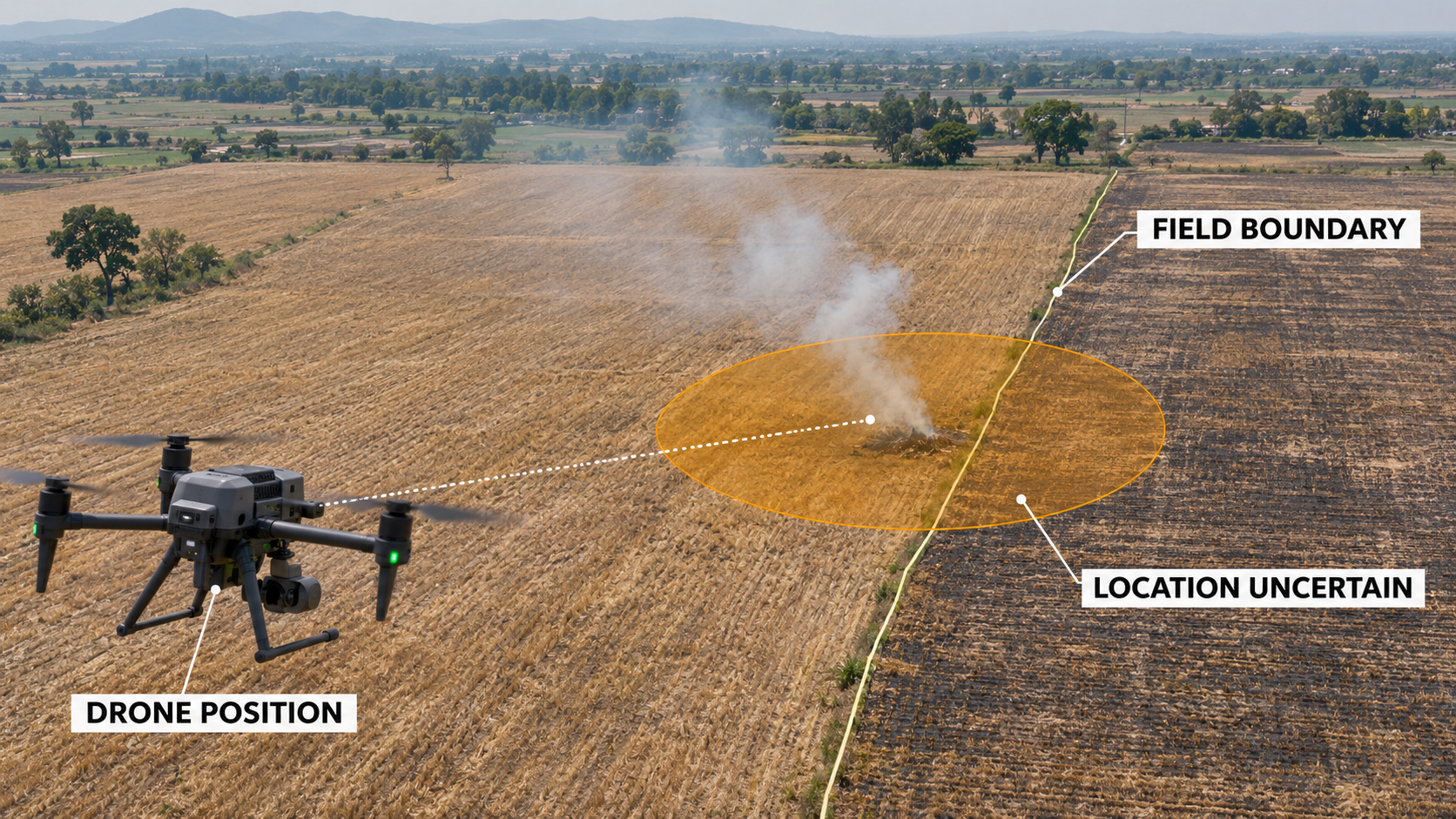
A geotagged drone image can flag a suspected violation, but it may not establish the exact location, cause or responsibility. Reliable enforcement requires spatial accuracy, preserved originals, verification and a clear record of how evidence supports each decision.
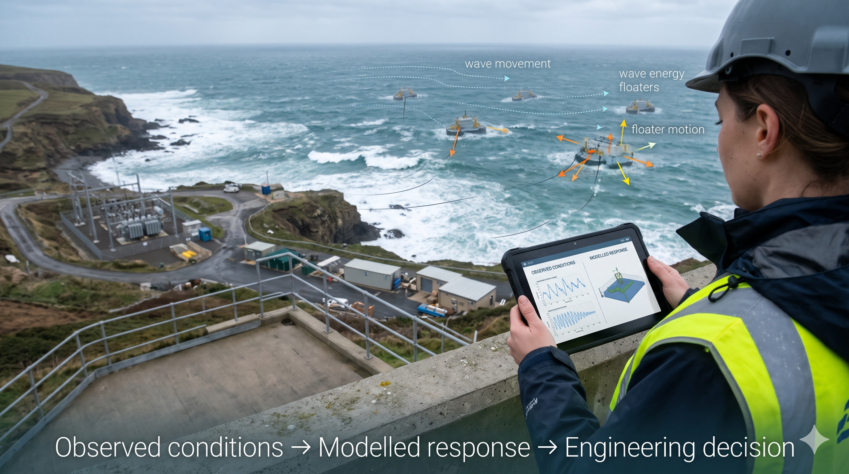
A physics-based digital twin connects sensor observations with models of how an asset behaves. From wave energy to drainage, it can help teams investigate unexpected conditions and make better decisions, provided its assumptions, uncertainty and limits are understood.
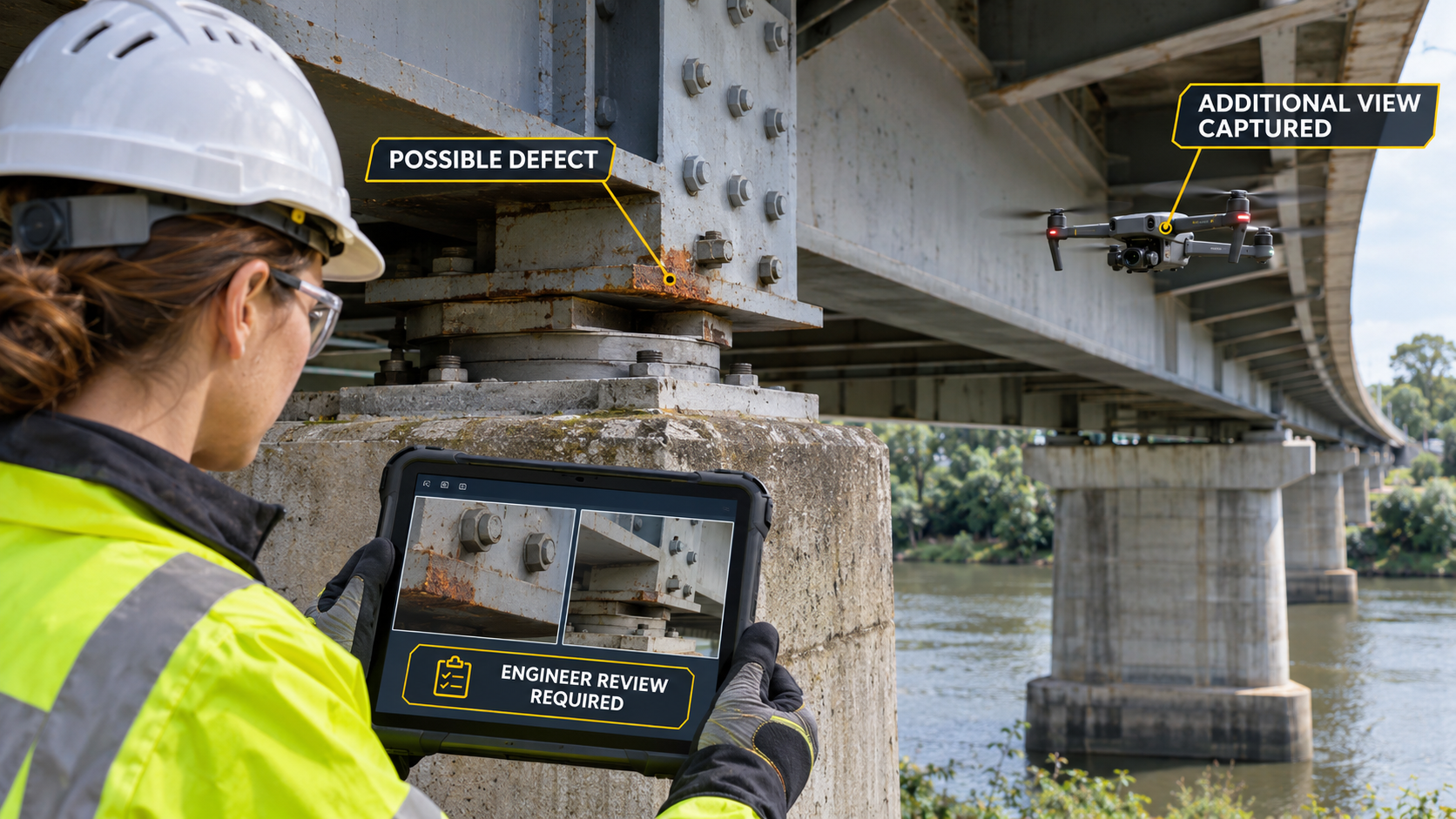
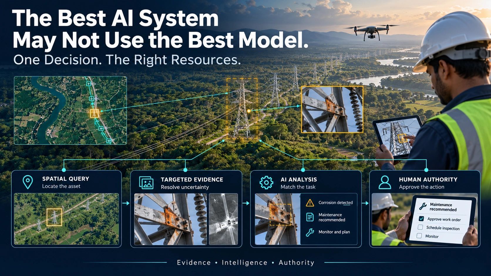
Drones are becoming evidence agents: detecting possible defects, capturing additional views and flagging uncertainty during flight. The goal is better evidence for infrastructure decisions, with engineers retaining responsibility for review and action.
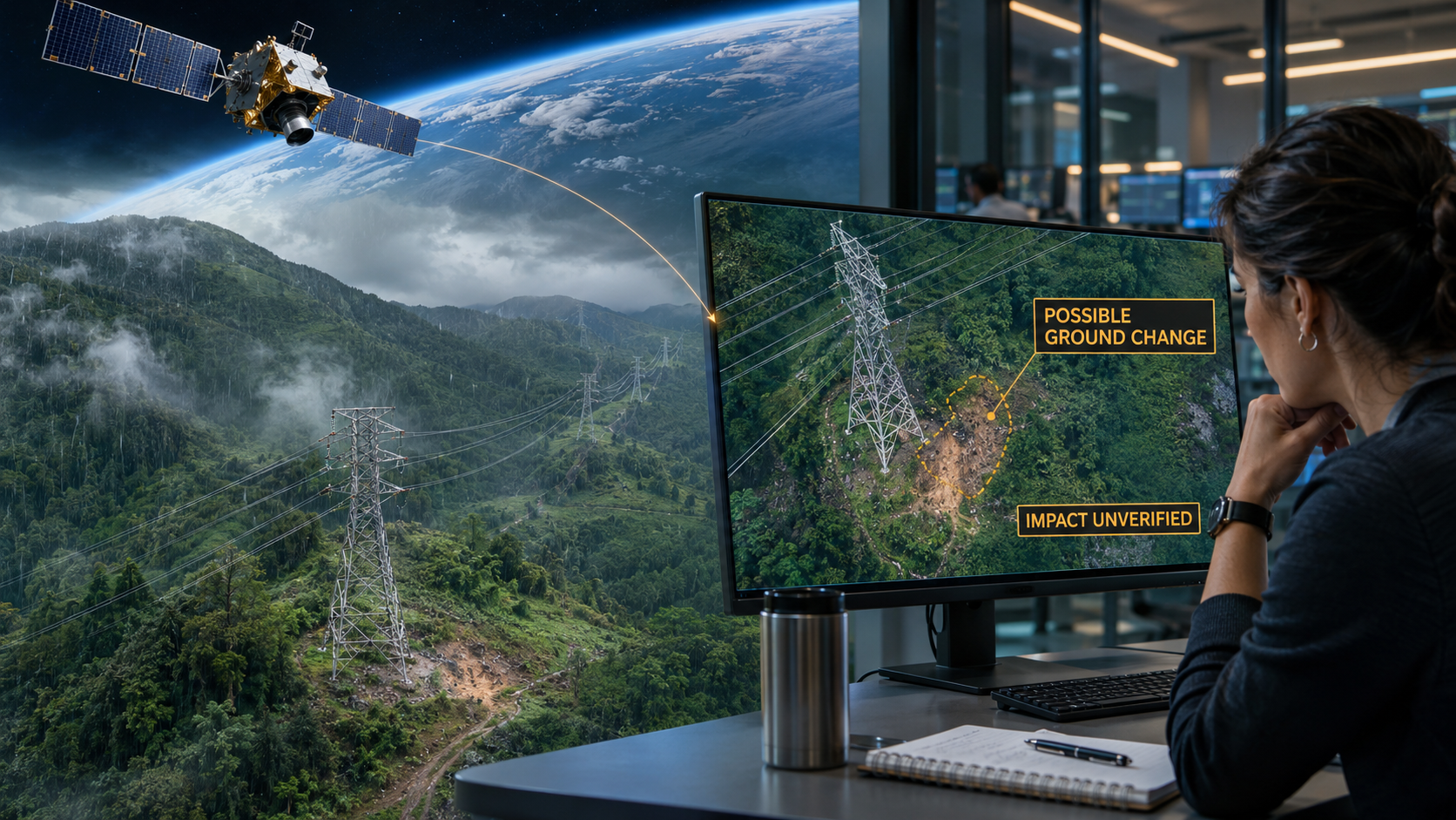
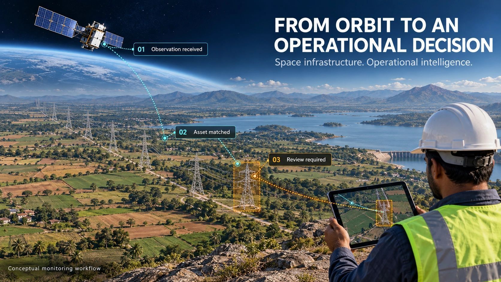
As satellites run AI onboard, faster alerts can help operators identify potential risks. But decisions still need context, traceable evidence and verification. The challenge is choosing what to transmit, what to retain and when to collect more information.
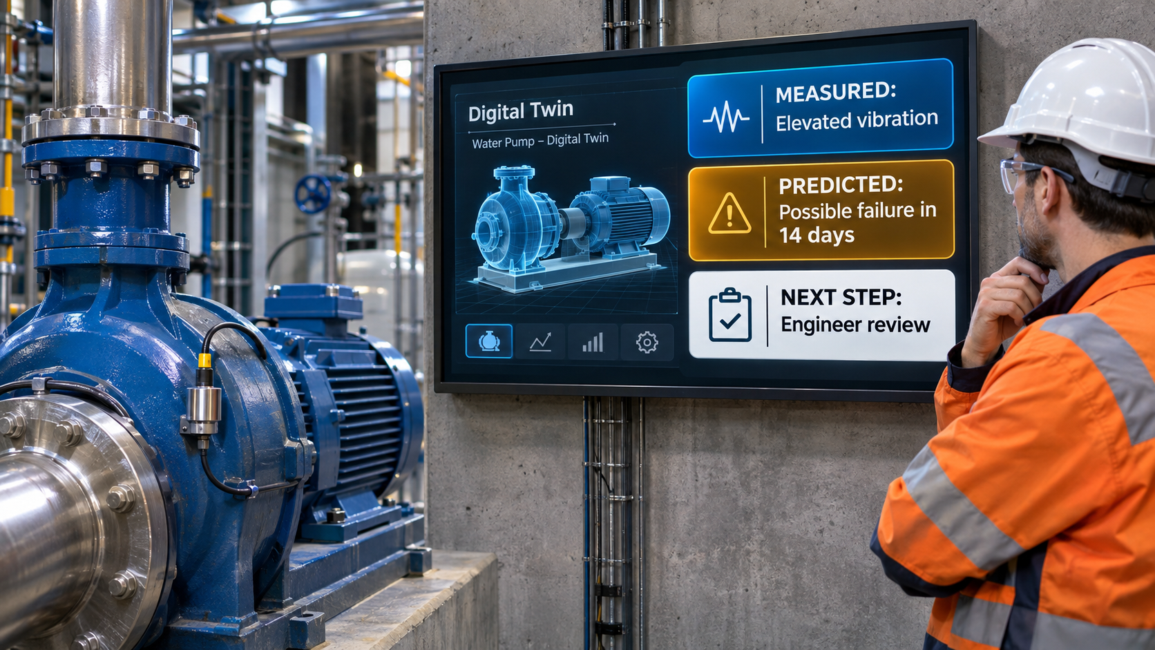
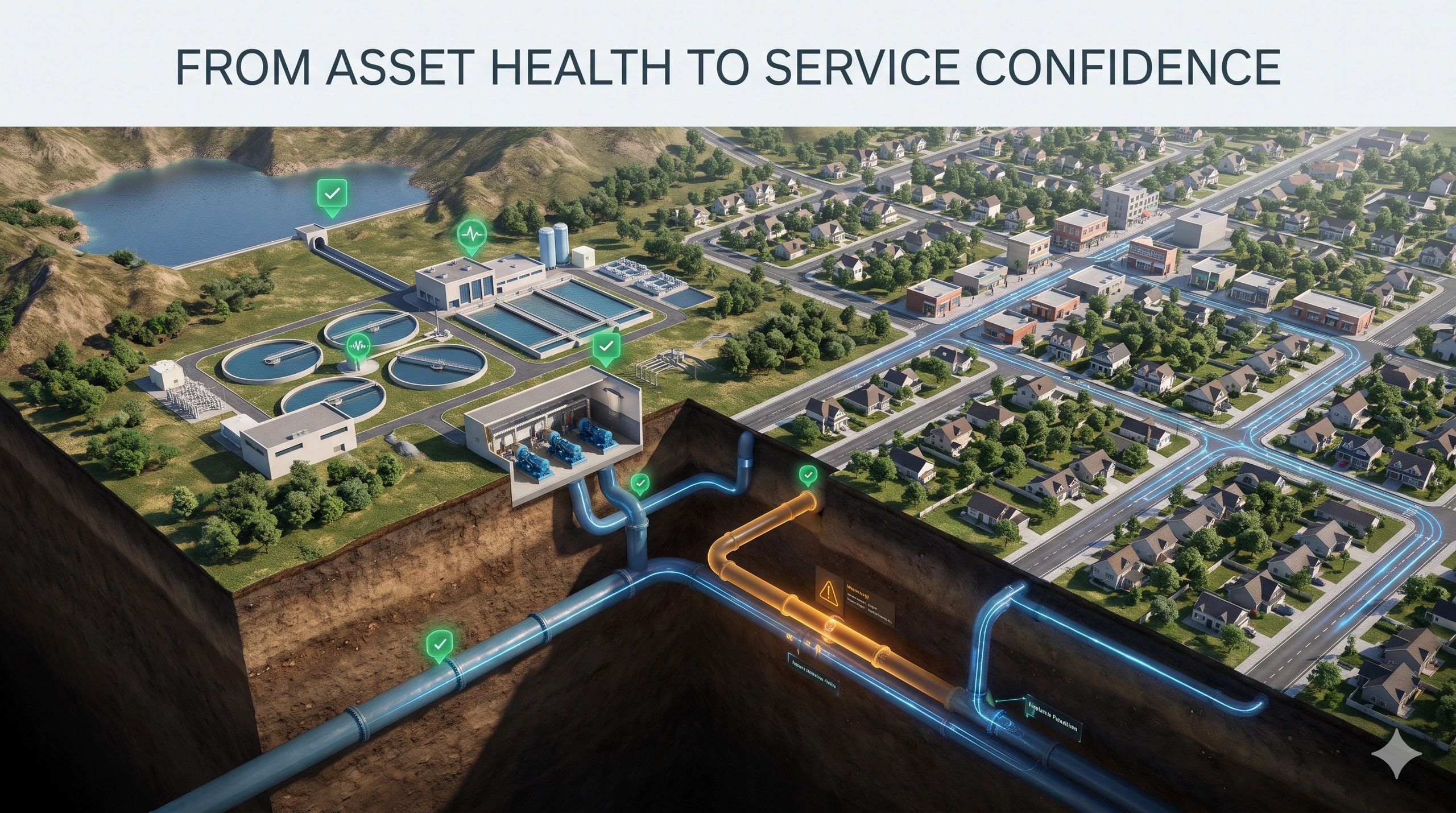
A digital twin may predict that an asset will fail, but a forecast is not a confirmed condition. Distinguishing measurements, inferences, predictions and verified findings helps teams understand uncertainty and choose the right action.
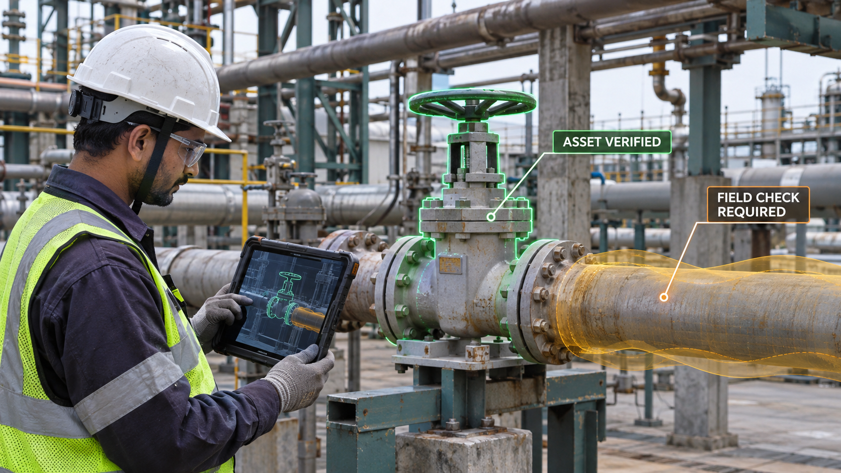
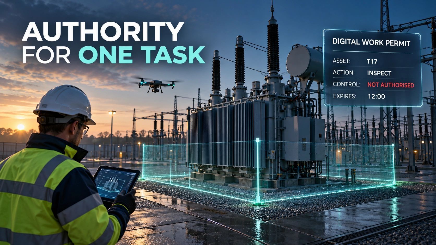
Spatial context becomes valuable when it helps people make better decisions at work. Whether delivered through AR, a mobile app or a map, it must connect asset identity, reliable evidence and current work conditions and make uncertainty visible before action.
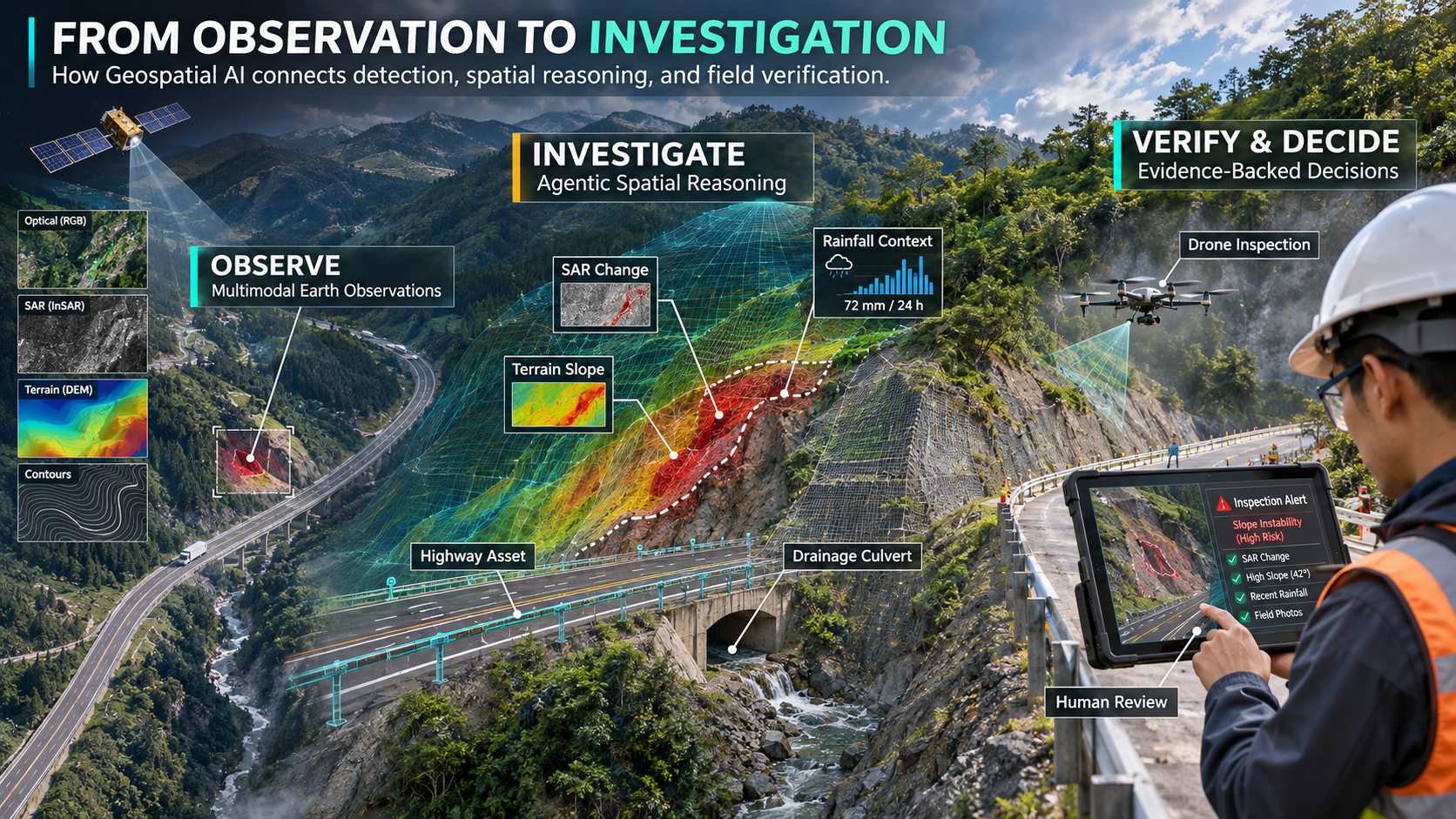
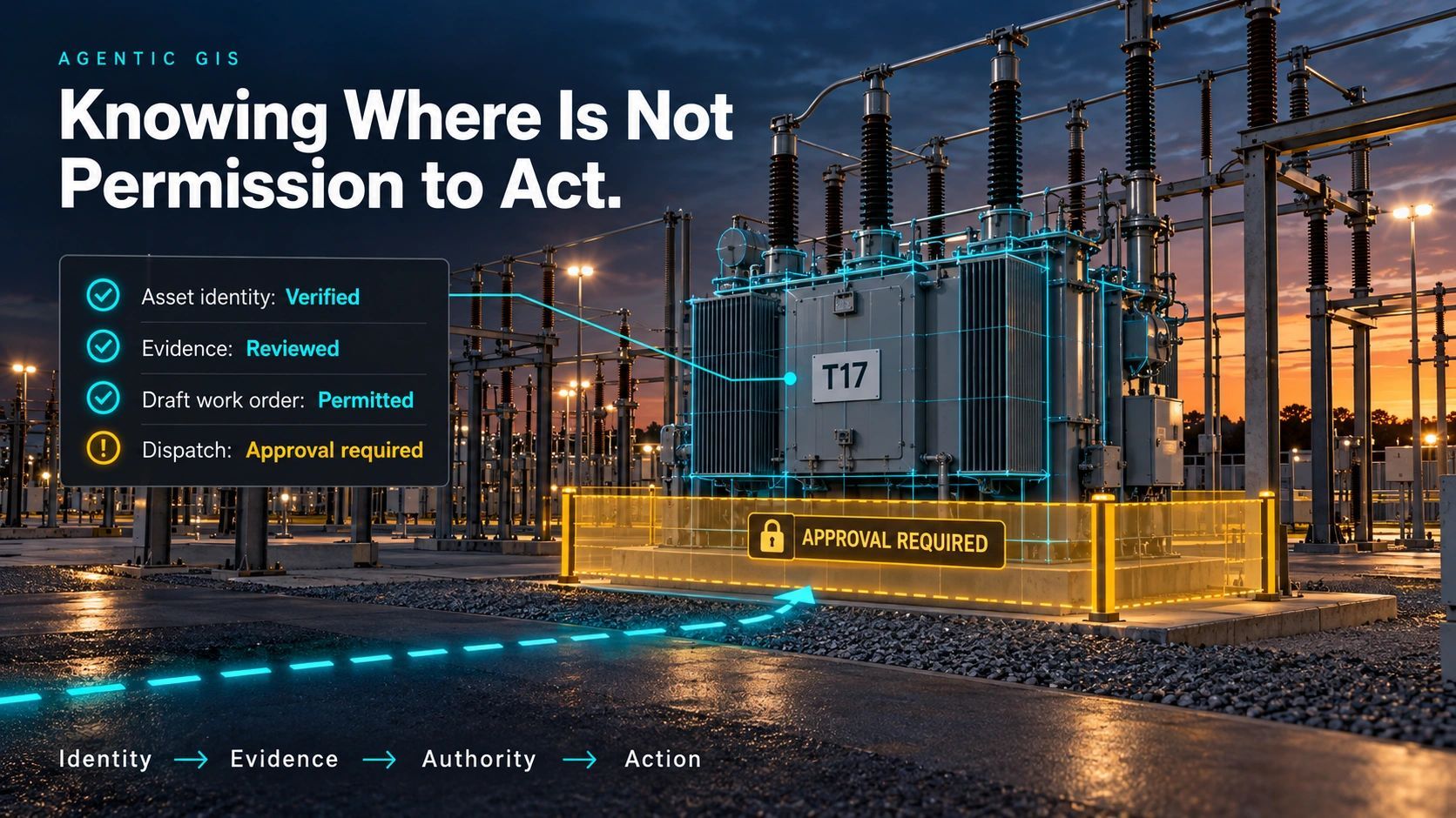
Geospatial AI is evolving from detecting changes to investigating their significance. Multimodal Foundation Models and Agentic Spatial Reasoning connect satellite observations, GIS, and infrastructure context to support evidence-backed decisions while preserving human oversight and operational authority.
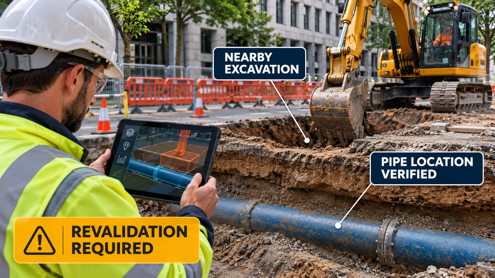
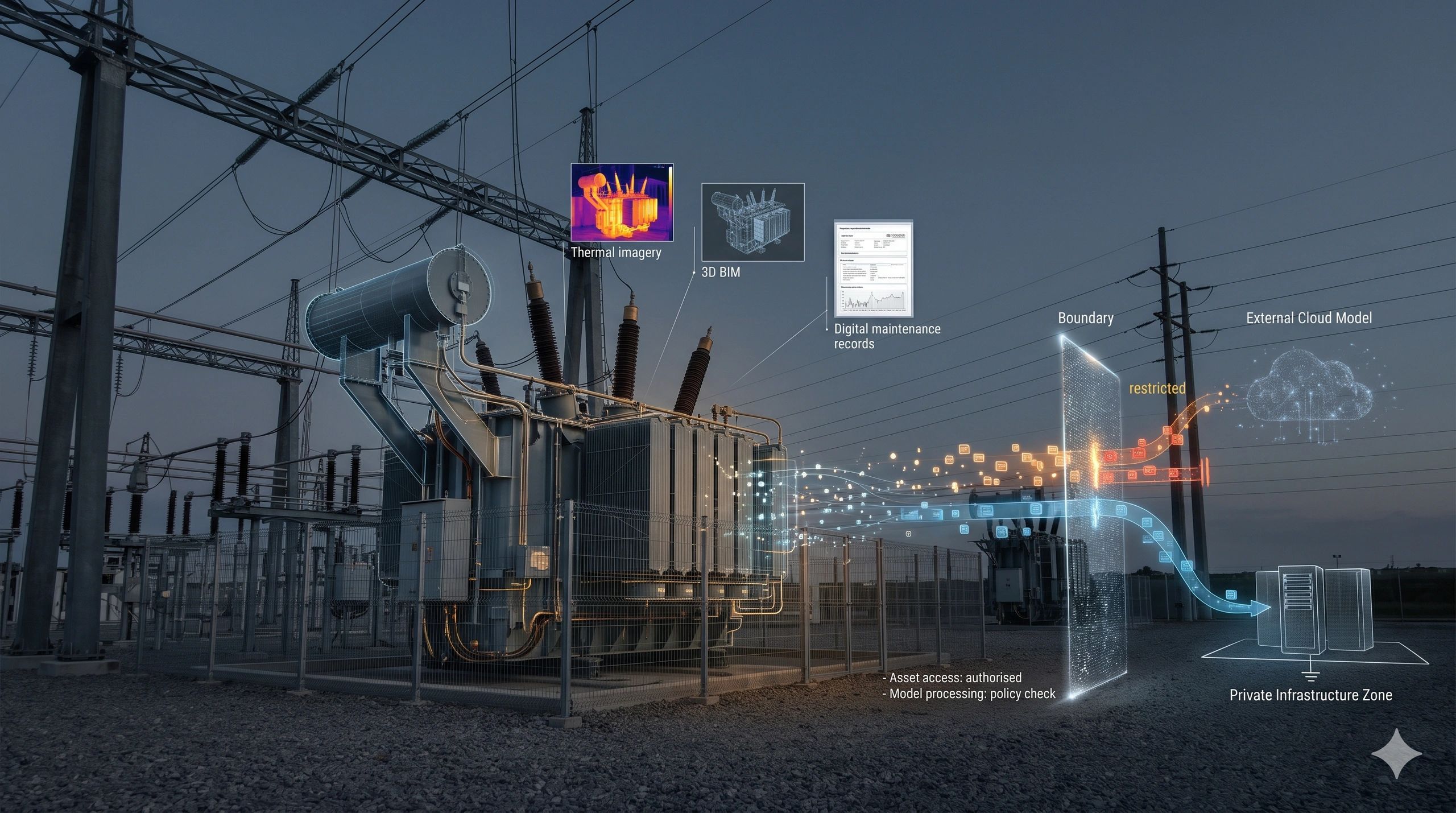
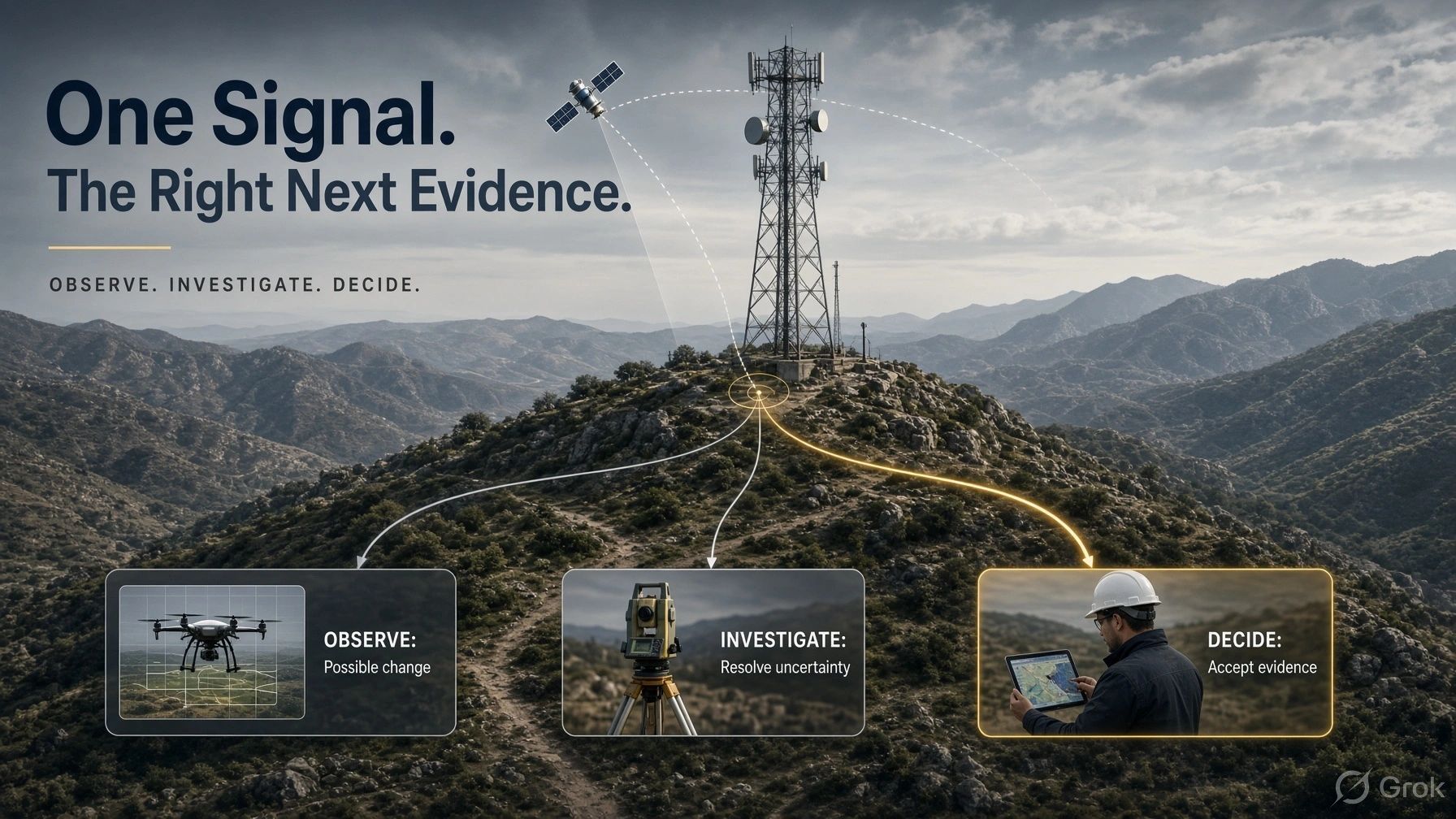
A digital twin can show recent, verified information and still miss a change caused by a storm, excavation or maintenance. This article explores how event-based evidence checks can flag uncertainty, guide the next observation and help teams make better-informed decisions.
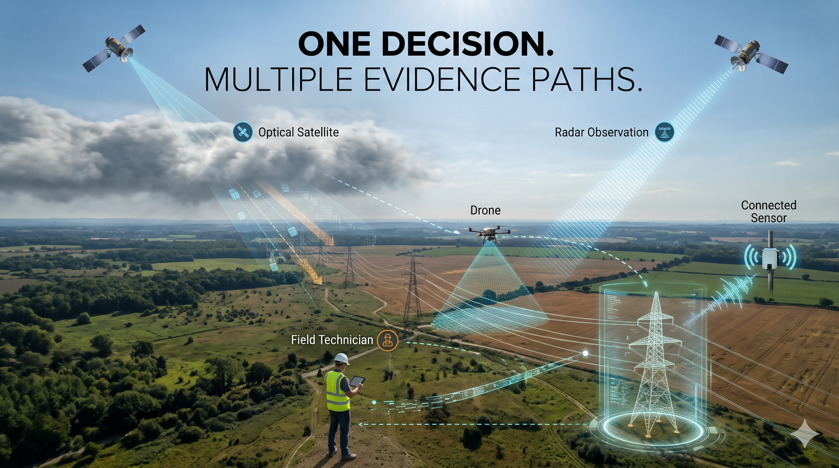
Always-on monitoring depends on more than one sensor. When a satellite, drone or field device becomes unavailable, an alternative must provide evidence suited to the decision. Explore how evidence continuity, independent observation paths and digital twins can help operators manage gaps and maintain confidence.
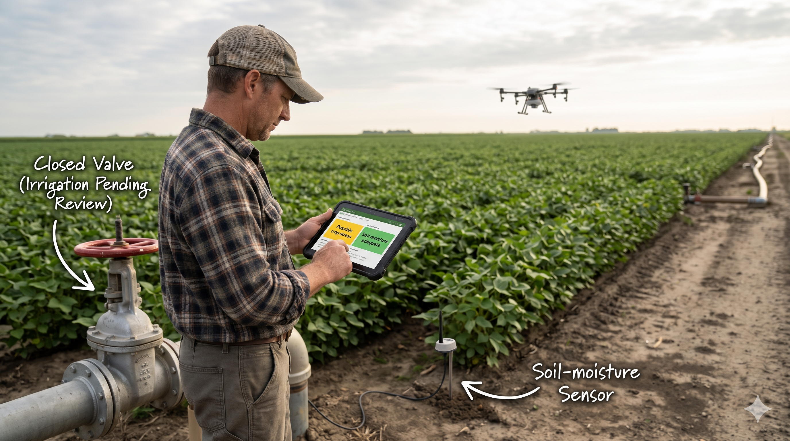
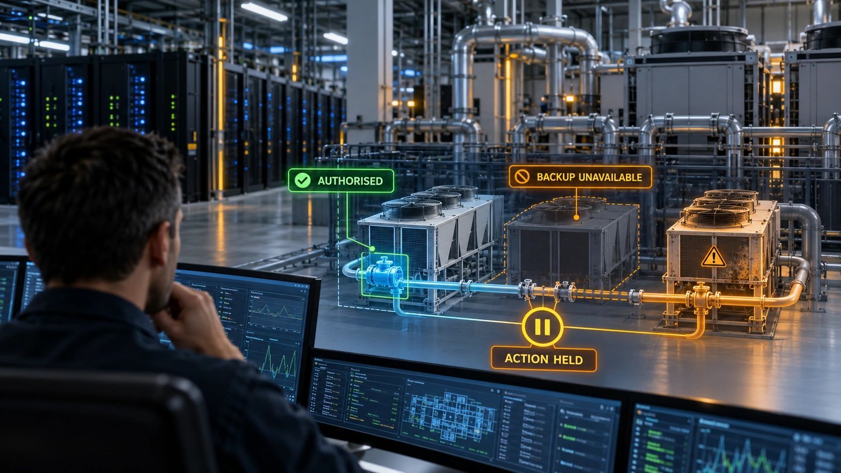
Before AI opens an irrigation valve, it must assess conflicting evidence, determine whether it is sufficient and confirm who can authorize action. This article explores how sensors, satellite imagery and digital twins can support that decision and help verify the outcome.
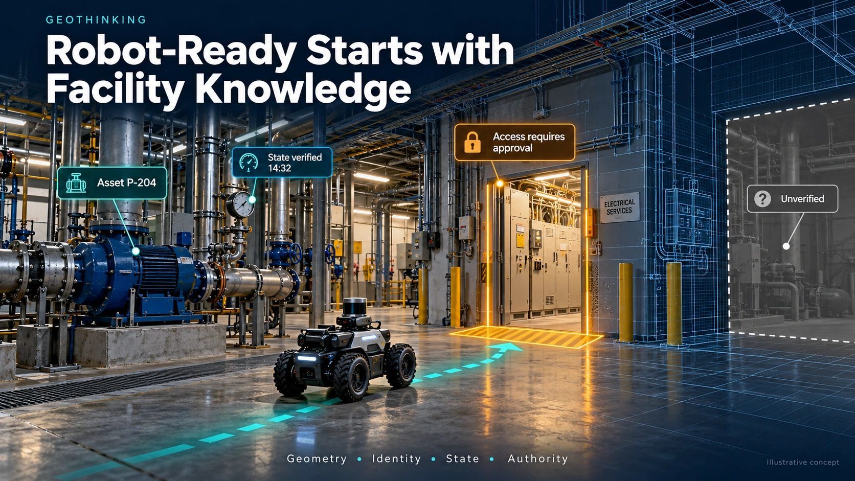
A facility can have a detailed BIM model, a recent laser scan and an operations dashboard and still leave a robot without the information it needs to complete a useful task.