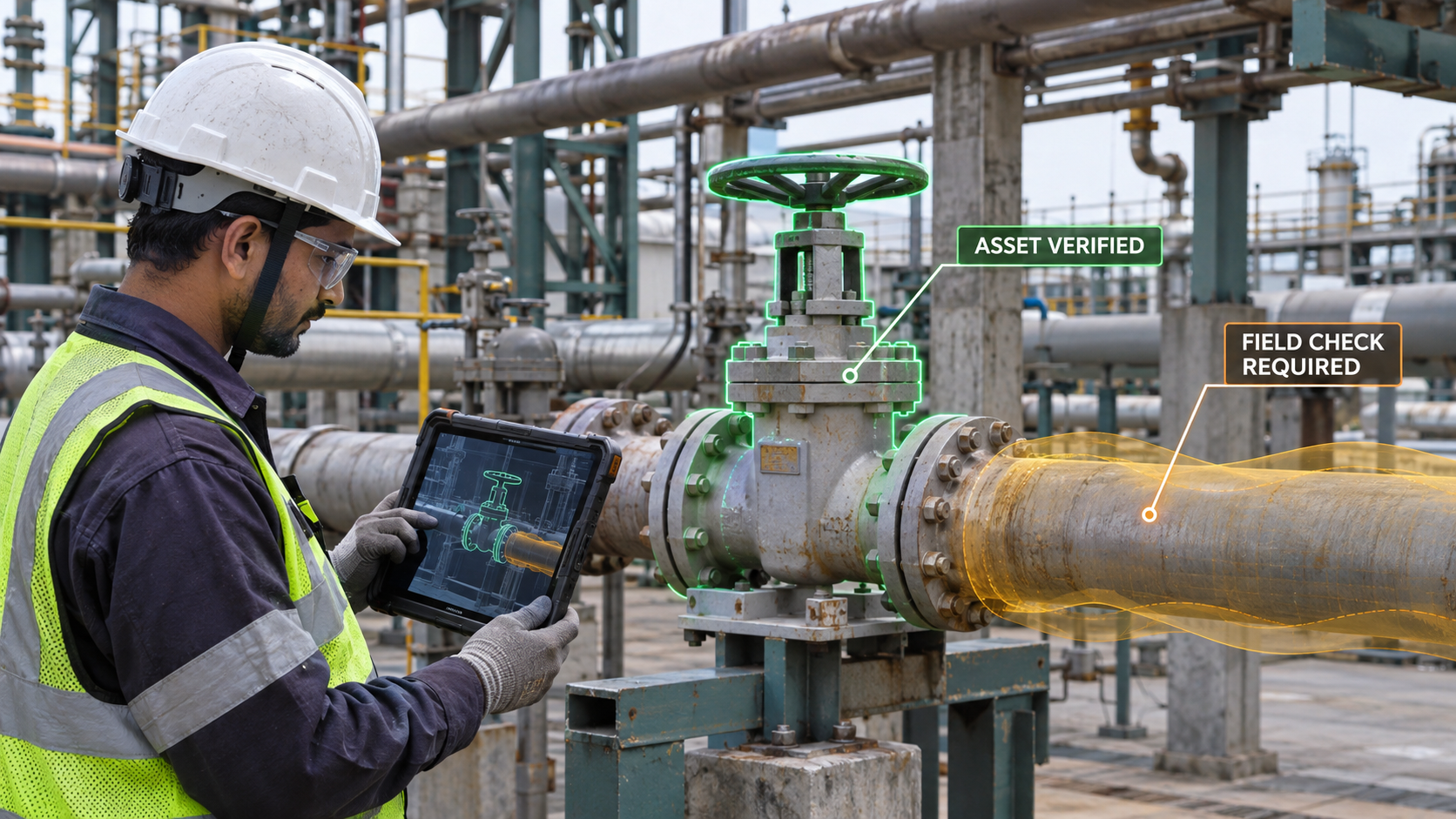
A maintenance technician arrives at a facility to inspect a valve.
The work order identifies the asset. A drawing shows its approximate location. A digital model contains a valve with the same tag.
But the technician still needs to answer a practical question:
Is this the right valve, and is it safe to work on it now?
A headset might display a 3D model over the equipment. A mobile application might show the valve on a plan. A tablet might bring up its maintenance history.
Each could be useful. None can answer the question reliably unless the information behind it is connected to the right asset and reflects the current work conditions.
That is where the conversation about immersive technology needs to move.
For years, the metaverse drew attention toward virtual environments: how people would enter them, interact in them and conduct business inside them.
For asset-intensive organizations, a more immediate question is:
Can the right spatial context reach the right person at the moment a physical decision is being made?
The display is only the starting point
Immersive technologies are finding applications in education, heritage, planning and training. A recent DD India feature describes examples ranging from three-dimensional learning models to virtual representations used in urban planning. DD India
Those uses demonstrate the range of the technology. Operational work adds another requirement: the information presented must be reliable enough for the task.
Consider the valve inspection again.
An overlay could show the asset tag, connected pipework, isolation points and maintenance instructions. It could also show a previous inspection photograph or the location of a reported defect.
That is valuable when it helps the technician identify the asset and understand its surroundings. But if the model was created before a pipe was rerouted, the overlay could make an outdated record look convincing.
A spatial interface can make information easier to see. It can also make uncertainty easier to overlook.
A digital twin has more than one front door
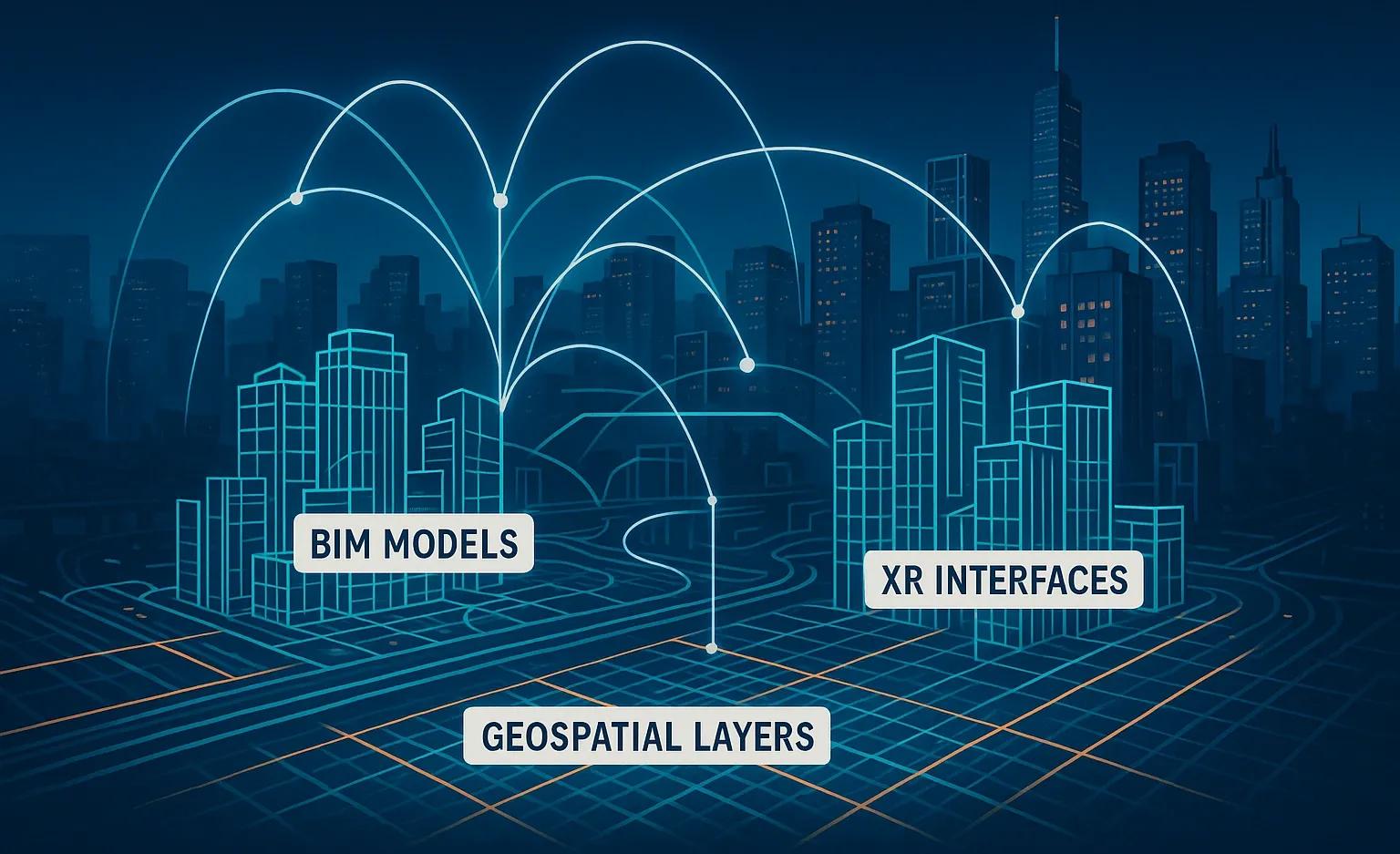
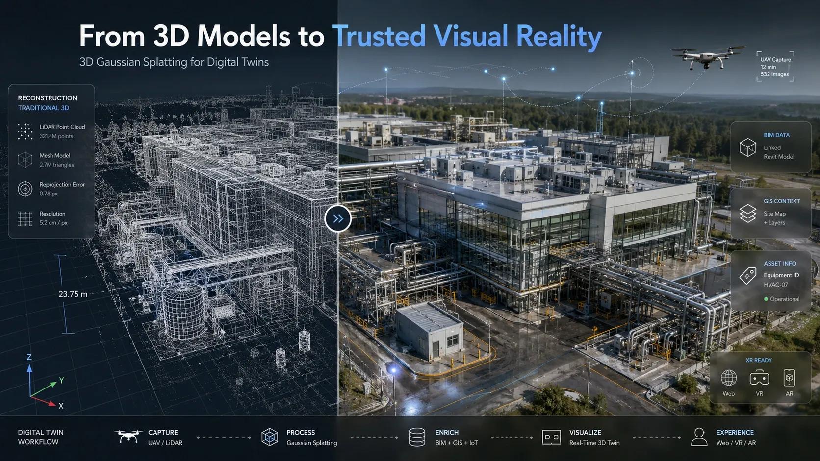
I see XR as one interface to operational context, alongside a web dashboard, a mobile app, a map or a conversational interface.
A planner reviewing an entire facility may need a desktop view. A supervisor checking work orders may prefer a dashboard. A technician standing in front of equipment may benefit from a mobile camera or an AR view.
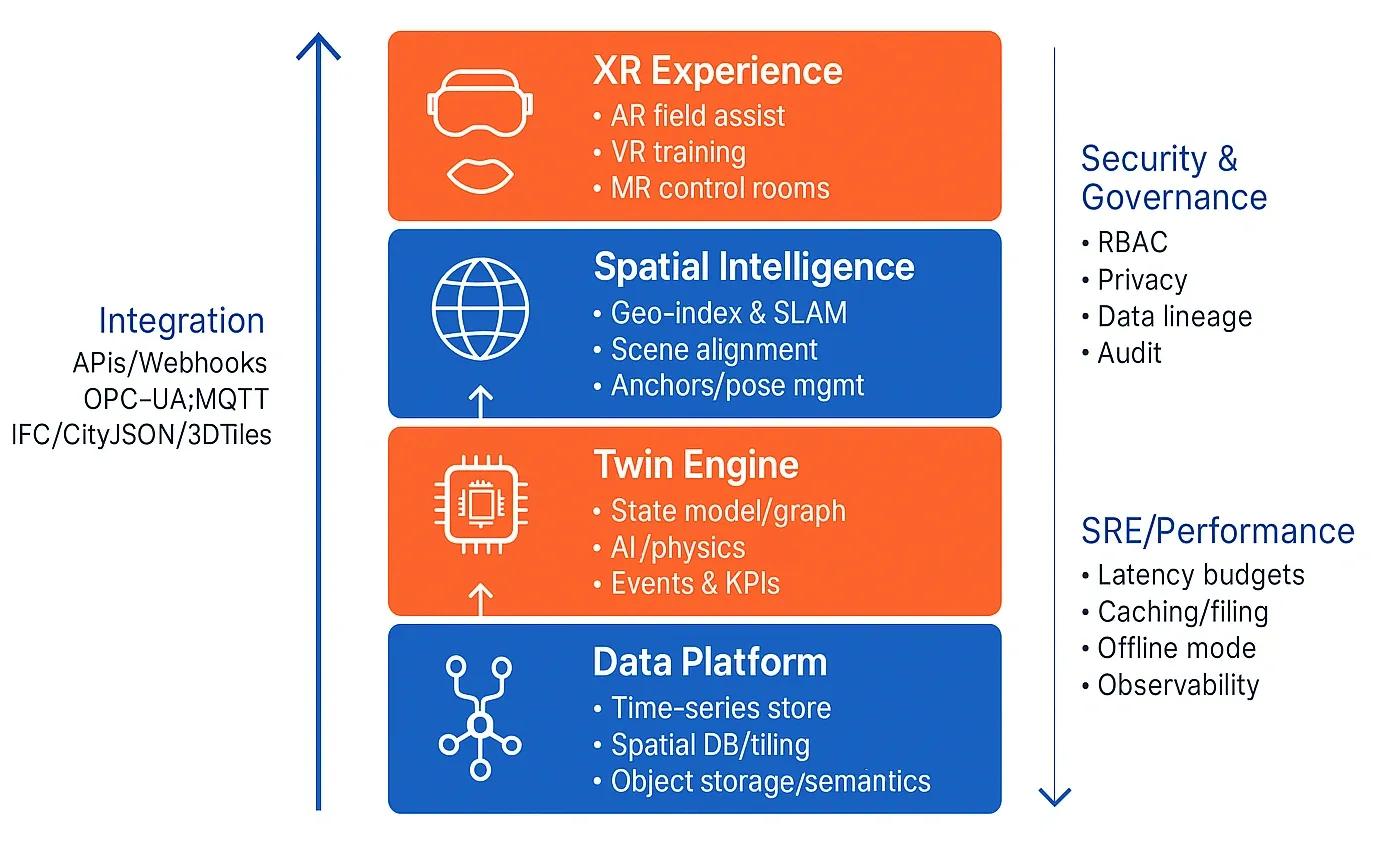
The interface changes with the job. The underlying information should remain connected:
- Asset identity: Which physical object is being shown?
- Location and relationships: Where is it, and what is connected to it?
- Evidence: Which drawings, observations and records support the view?
- Current status: What is known about its condition and operating state?
- Work authority: What activity is permitted, by whom, and under what conditions?
This does not mean every digital twin must have all these capabilities on day one. It means that adding a three-dimensional interface does not remove the need to establish them.
What changes when the asset is hidden?
Now consider an illustrative excavation scenario.
A field team needs to open a trench near an existing facility. A map shows an underground cable crossing the proposed route. An AR application places the cable model over the ground.
The view helps the team understand where a conflict might exist. It also reveals questions that a line on a screen cannot settle on its own:
- Was the cable location surveyed or inferred from an old drawing?
- When was the record last verified?
- How accurate is the device’s position and alignment?
- Does the overlay account for uncertainty in the cable’s location?
- Has another utility been installed since the survey?
A cable rendered as a narrow, precise line may suggest more certainty than the underlying data supports. A better interface would show its source, verification date and an appropriate uncertainty zone. If the records conflict or alignment cannot be established, it should make that visible.
The operational response might be to pause, contact the utility owner and arrange appropriate field verification before work continues.
For context, U.S. OSHA excavation requirements call for estimated underground utility locations to be determined before excavation and for exact locations to be established by safe and acceptable means as work approaches them. That is a useful example of why a visual overlay must support established field procedures; local requirements will differ. Occupational Safety and Health Administration
In India, the Department of Telecommunications’ Call Before u Dig (CBuD) app helps excavation agencies coordinate with underground utility owners before work begins. It is intended to reduce damage to assets such as optical fiber cables, water pipelines, electricity cables and gas pipelines. Press Information Bureau
For our excavation scenario, an AR overlay could help the team visualize a possible conflict, while CBuD supports coordination with utility owners. The team would still need to review the information received, follow applicable permissions and procedures, and arrange field verification where needed. A digital view is useful context; it is not proof that the underground location is exact.
A practical test: identity, evidence, action
Before investing in a point-of-work spatial application, I would test it against three questions.
1. Identity: What am I looking at?
The application should help a worker distinguish the intended asset from nearby objects that look similar.
Asset tags, maps, equipment photographs, model geometry and field observations can contribute to identification. Where they disagree, the system should surface the mismatch instead of silently choosing one record.
2. Evidence: Why should I trust this view?
A useful view needs context about its sources.
For example, a worker should be able to tell whether a pipe location comes from a design model, an as-built survey or a recent field observation. The date, accuracy and limitations matter because each supports a different level of confidence.
A model may remain useful for orientation even when it is insufficient for a safety-critical decision. The interface should help the user recognize that difference.
3. Action: What can I do next?
Information becomes operationally useful when it connects to a decision.
Can the technician proceed with an inspection? Should the supervisor confirm an isolation? Does the team need a fresh survey? Is a work permit still valid?
The application does not need to make every decision. It should bring the relevant information and escalation path into the workflow, while leaving authority with the appropriate people and systems.
Choose the interface after choosing the task
A headset is not automatically the best way to deliver spatial context.
AR may be useful when a worker needs to compare a model with a complex physical environment while keeping both hands available. A tablet may be more practical when the task involves reading records, reviewing photographs or working in conditions where a headset is uncomfortable. A marked-up plan may be sufficient for a straightforward job.
The choice depends on the task, working environment, connectivity, safety requirements and the reliability of positioning.
There is also a commercial consideration: organizations need to maintain the information and interfaces they adopt. Microsoft has announced that Dynamics 365 Guides and Remote Assist will reach the end of support on 31 December 2026. That is a reminder to consider platform lifecycle and portability when selecting an immersive workflow. Microsoft Learn
The durable investment is the ability to connect assets, evidence and workflows across interfaces, even as individual products change.
Measure the work, not the immersion
A pilot should start with one recurring task and a baseline, rather than a broad ambition to create an immersive workplace.
For example, an organization could compare its existing valve inspection process with a spatially supported workflow. It could measure:
- Time taken to locate and confirm the correct asset.
- Time spent retrieving drawings and maintenance records.
- Number of identification discrepancies found and resolved.
- Time taken to prepare or complete the inspection.
- Worker feedback on clarity, usability and trust.
Safety outcomes require particular care: a short pilot may not produce enough incidents to demonstrate a change in accident rates. Measures such as identification errors found, missing information escalated and verification steps completed can provide more useful early evidence.
The result may show that AR improves the task. It may also show that a mobile asset view delivers most of the benefit with less complexity. Either finding is valuable.
The opportunity is to make spatial knowledge available where it can change a decision. Sometimes that will involve an immersive view. Sometimes it will be a clear map, a current photograph or a warning that the available evidence is not sufficient.
The question for organizations is no longer how much of the workplace they can put into a virtual world. It is whether the person doing the work can see enough of the real situation and understand what remains uncertain, before acting.